Day 6 (August 28, 2021): Kluane National Park
When we woke at 7AM, we heard heavy rain and we knew that the certainty of rain that had been forecasted was a reality. With only today to spend in Kluane National Park, the sound of the rain was disappointing, for sure. But we set out after breakfast at the Village Bakery in Haines Junction with much optimism that the fog-shrouded mountains would indeed make an appearance at some point.
We had been planning to take a float-plane flight over the Kluane ice fields, but a call to the air tour company revealed the bad news that the cloud ceiling was too low to permit the plane to take off. As if that wasn't bad enough news, after driving 50KM from Haines Junction, we realized we were on the highway back towards Whitehorse, and not toward the northern end of Kluane! So around we turned and headed back to Haines Junction.
We decided to stop at the park's visitor centre to watch a 20-minute film on Kluane. What an experience that was! Kluane is an incredible park. Consider these facts:
- The park is 20,000 square kilometres in size and is a UNESCO World Heritage Site.
- 80% of the park is covered in ice, making it the largest non-polar ice field in the world.
- Some of the glaciers are as deep at one kilometre!
- Mount Logan, Canada's highest mountain, is located in the Park. It is such a massive mountain that it has its own weather system.
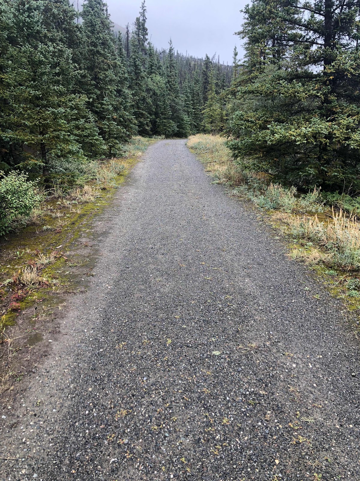
We drove 88 kilometers north on the Alaska Highway from Haines Junction, towards Destruction Bay. With the mountain peaks having been brushed with snow last night, whenever we were blessed with a brief break in the cloud / fog to see the peaks, the views were breath-taking. We could only imagine how overwhelming the drive would have been on a sunny day.
Part of our drive was along Kluane Lake. Near the Lake's southern end, we stopped to take a hike in the rain to the Soldier's Summit, where the opening ceremony for the Alaska Highway took place on November 20, 1942.
Our turnaround point was Congdon Creek Campground on the shores of Kluane Lake. The Campground has a high grizzly presence, so we were thinking we might get a glimpse... But alas, no such luck. In fact, we didn't see a single animal in the park.
By 4PM, we were back in Haines Junction, and from there, we started the 90-minute drive back to Whitehorse, arriving at our hotel there by 5:45 PM. A final Yukon dinner was had at Earl's Restaurant, a west coast favourite.
We leave for Calgary tomorrow at noon. It's hard to imagine our time in the Yukon is almost over.

As we erroneously started back towards Whitehorse (thinking we were heading north on the Alaska Highway deeper into Kluane), we passed this historic pioneer bridge along the original Alaska Highway route.

Most of Kluane is inaccessible by vehicle. So unless you take a flight over the glaciers, or do a hike of several days' duration, you don't get to see any. Just to give you an idea of what the Park offers on the glacier front, here is a photo from Lonely Planet (photo credit duly given!).

Mount Archibald at 2560 metres and Mount Decoeli at 2316 metres, both just northwest of Haines Junction.

Mount Archibald again.

This red plant is prolific along the highways here, making for a beautiful contrast to the evergreens.

At Soldiers' Summit, there were many interpretive panels outlining the history and impacts of the Alaska Highway's construction. These photos are a collage I put together from some of the panels. Here are some incredible facts related to it:
- The Highway is 2232 KM long, stretching from Dawson Creek, BC to Delta Junction, Alaska. It was originally 2700KM, but re-routings and straightenings have reduced the length.
- The Japanese threat to North America resulted in the US Army approving its construction on February 6, 1942. It was completed on October 28, 1942 and officially opened in November 1942. The crews built 8 miles a day on average!
- 1/3 of the US soldiers who built the road were African Americans, most from the southern USA and had never experienced the northern cold.
- Canada took over its portion of the highway in 1946. It didn't open to the public until 1948.
- The first trip from Fort St John, BC to Whitehorse took 71 hours -- five times as long as it takes today!

The program for the opening of the highway, held at Soldiers' Summit, where we climbed today. The temperature was -30C that day, in November 1942.

This plaque by the National Historic Sites and Monument Board commemorates the opening of the Alaska Highway on Soldiers' Summit, overlooking Fish Heart Island in Kluane Lake.
This is a section of the original Alaska Highway, which now serves as a trail up to Soldiers' Summit.
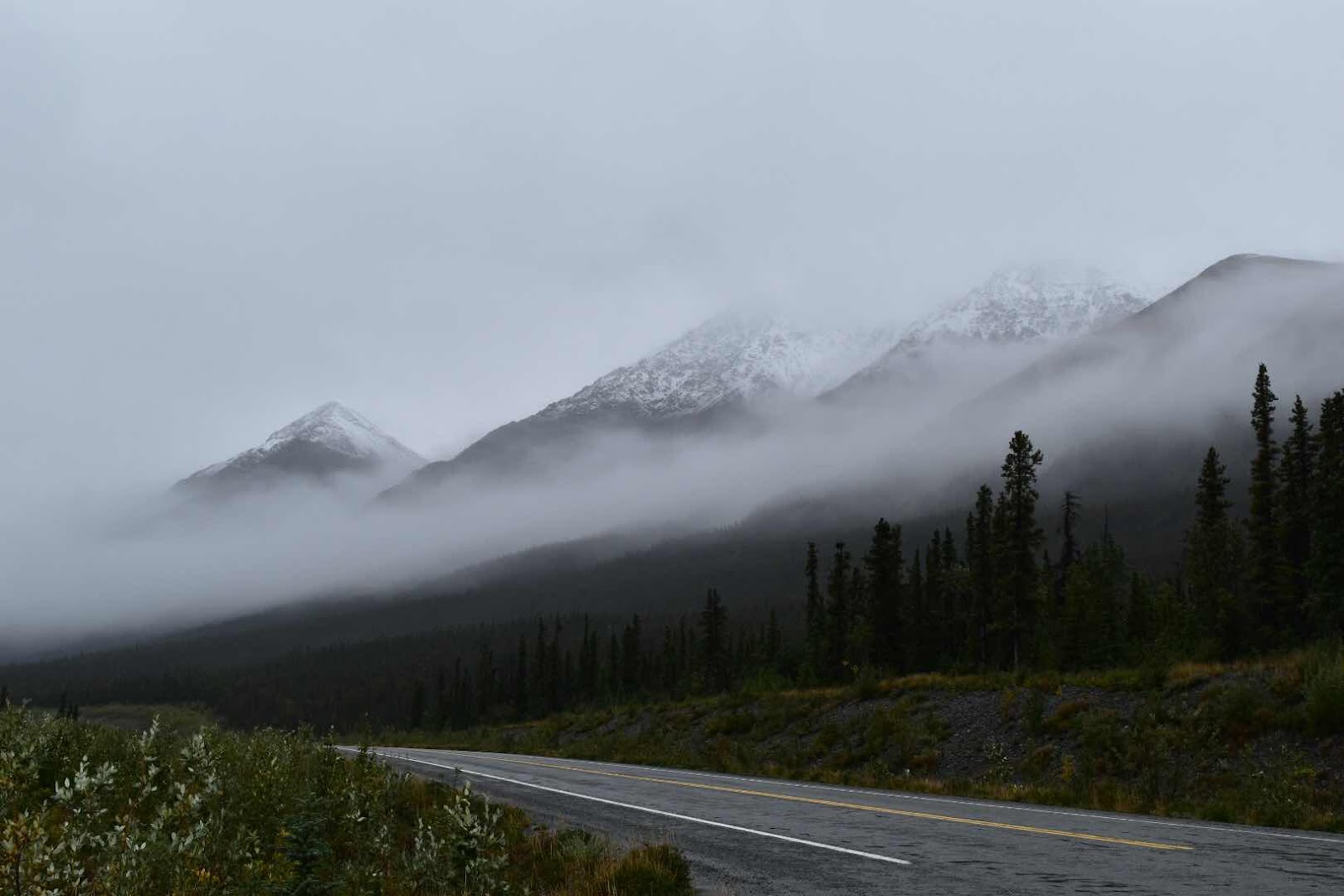
A mountain range near the southern end of Kluane Lake.


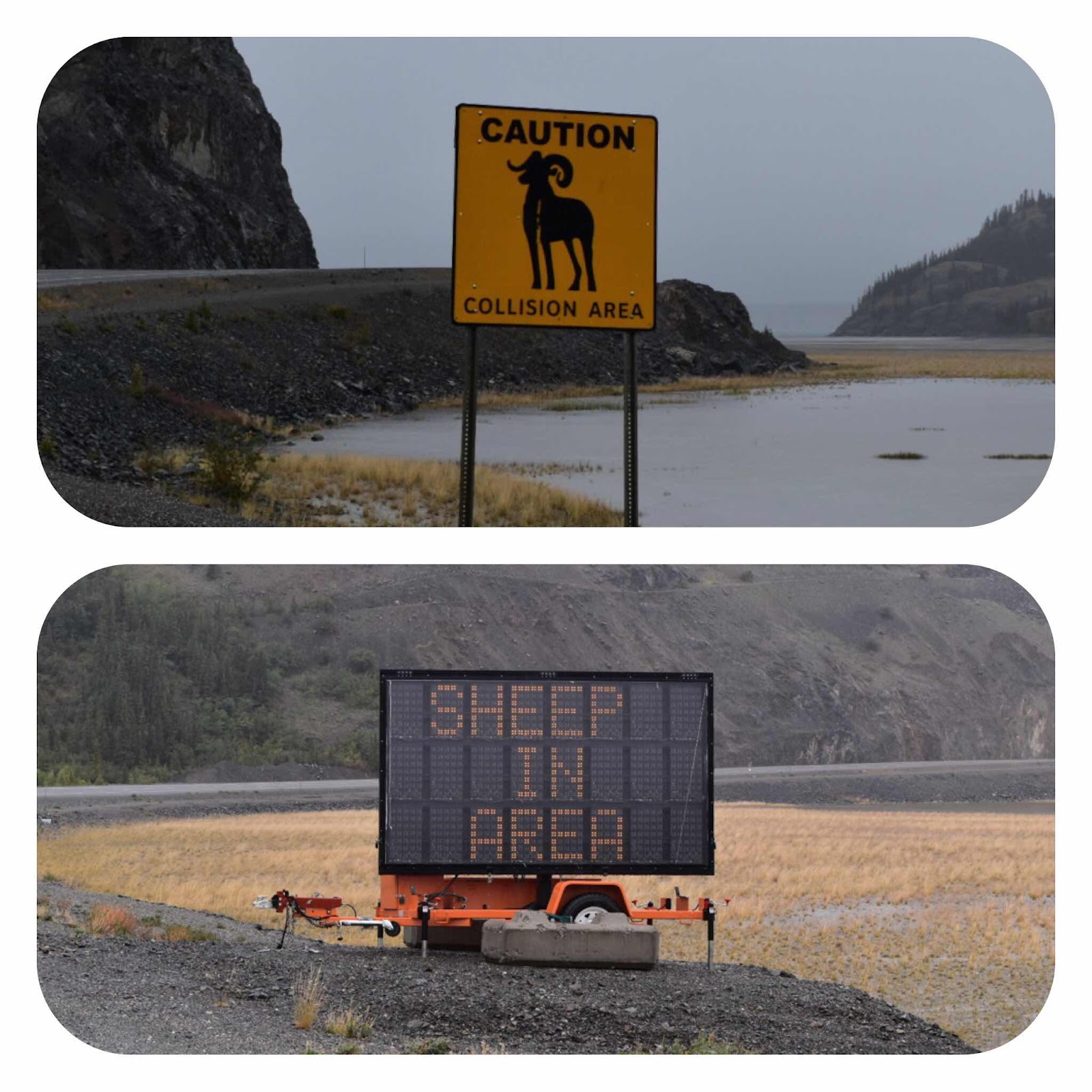
Dahl sheep (think of a ram) are numerous in the park. Near the southern end of Kluane Lake, they even create a hazard on the Alaska Highway. Alas, we didn't see any.

Grizzlies are also numerous in Kluane. This sign from Congdon Creek Campground, our point of turnaround in our drive north in Kluane, reads, "The Bear Buffet: Don't Become Part of It!"

David, practicing his "scare the grizzlies" routine!
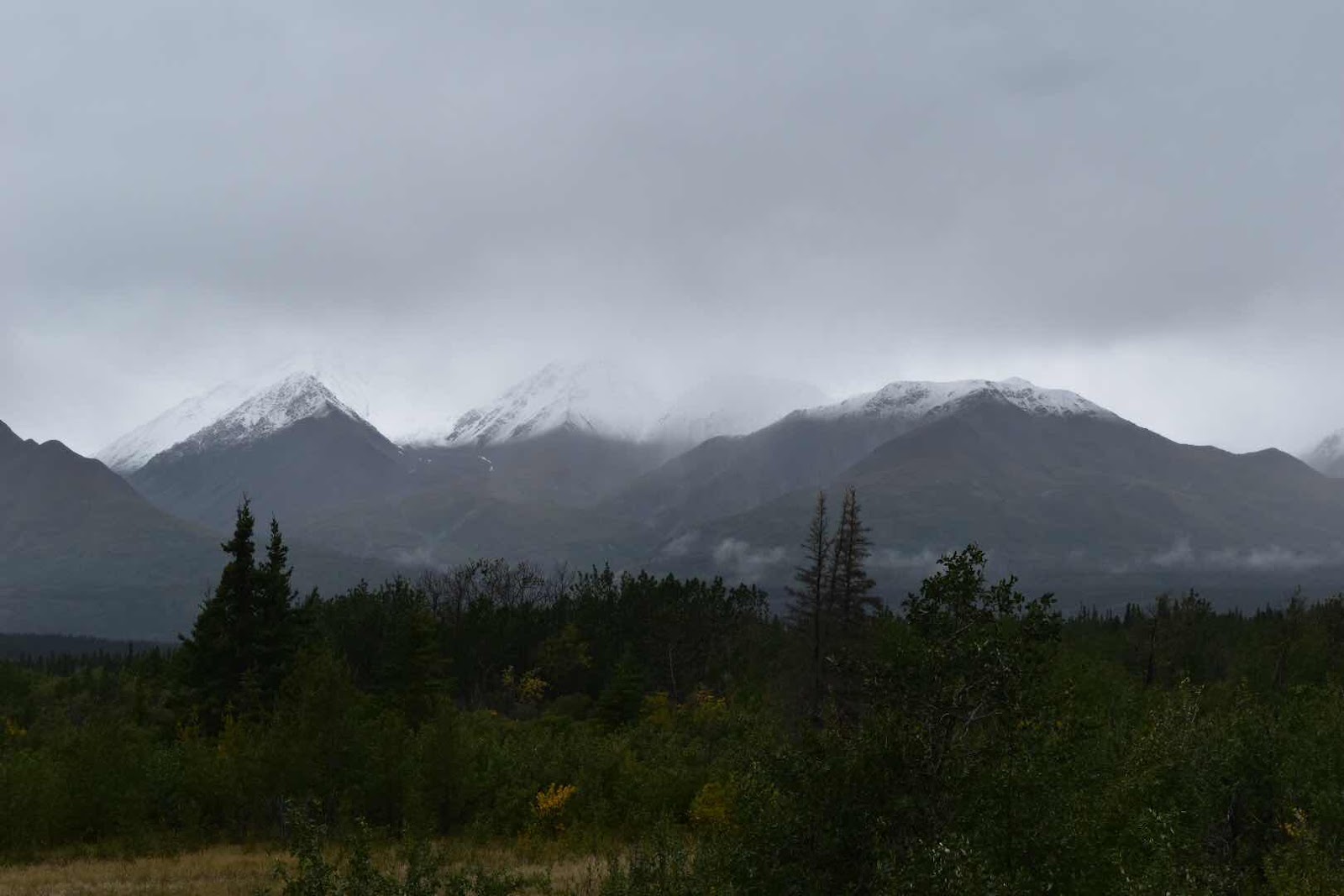
A couple of additional photos of the ranges near Haines Junction on our return journey this afternoon. The clouds make it appear that the pointed peaks have been chopped off!

Comments
Post a Comment